Hermann Kudras
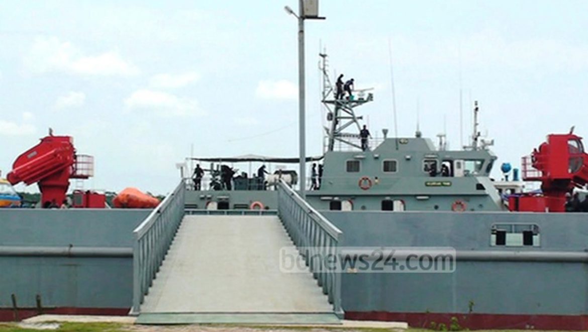
Since many years the site for a new port has been discussed and various places have been considered. The new port should serve the large container vessels, which are the main carriers for world-wide shipment. These vessels are up to 300 metres long and have a draught of about 15 metres. After discarding the potential sites at Sonadia and Matarbari as being too remote from the main industrial centers, the Bangladesh Government has chosen a new site close to the Meghna Estuary, along the tidal Rabnabad channel in the Patuakhali district. This new site, the Payra port, is strategically well positioned. There seems to be enough place for expanding the complex harbor facilities, the site is close to the main economic centers and may even serve as a port for the Indian hinterland.
However, there is a major problem for the Payra site: it has no natural access from the deep sea. In front of the proposed new harbor, the mud flats of the Meghna submarine delta extend seaward over a distance of more than 100 km. According to the navigational map the water depth of 5 metres is reached at 24 km from the shore, the 10 metres line lies another 22 km offshore and the distance to the 15 metres water depth adds another 14 km. The sea floor in this region consists of a highly mobile mixture of fine sand, silt and clay. This unconsolidated sediment has a thickness of several tens of meters and is mainly supplied by the sediment input from the Meghna River. Tidal currents almost continuously transport sediments in various shore-parallel directions. A 60 km-long navigational channel with a general depth of at least 15 metres and a width of 300 metres has to be dredged cutting through this shallow mobile mud belt in order to access the Payra port. A huge volume of sediment of more than 100 million cubic metres of sediment has to be removed, which would require the action of the world-wide largest dredge vessel for several years.
At the same time, tidal currents will constantly move sediment from both sides into the artificial channel restoring the equilibrium surface and counteract the costly dredging operations. Every year at least 100 million cubic metres of sediment are transported from the Meghna estuary through the coastal waters westwards to the Swatch of No Ground. A significant part of this sediment load will be trapped in the deeper parts of the navigational channel. Compared to this siltation by tidal currents, the impacts of cyclones are much more severe. The huge storm waves with a height of up to 7 m can mobilize the soft muds on the both sites of the channel, which then flow into the navigational channel. In addition, the faststorm-induced currents transport huge amounts of sediment from the mouth of the Meghna towards the west, which will be also trapped in the channel.Thus, a single cyclone can partly or even completely fill the channel and the access of the ocean-going container vessels to the harbor will be clogged for a long time.
In summary, the construction of the harbor facilities should be not a problem, when the general fast subsidence of the area and the exposition to cyclonic inundations are considered. However, the dredging and maintenance the navigational channel through an area with the world-wide highest input of sediment would be extremely costly, difficult or even impossible. On a mid-term operational basis, the enormous flow of sediment into the 60 km long artificial channel cannot be mastered. Even the richest ports could not provide enough funds and technical resources to overcome this overwhelming sediment flow offshore the proposed deep-sea port. Bangladesh engineers and scientists have a long experience with the power of the rivers and they should adapt this know-how to the sea, which can be even more destructive than the mighty rivers. The Bangladesh Government should give a second thought to the position of the new harbor and choose a site for the deep-sea port that can be built and maintained in accordance with nature.
Source: bdnews24


Any development work done not taking nature in consideretion is not only counter productive to nature it is against the development itself. There is no alternative to knowledge base plan.
Building Payra deep-sea harbor — a challenge of nature:Posted by: bdchronicle
March 4, 2017 | Filed under: Opinions |Hermann Kudras
Bangladesh urgently needs an additional harbor suitable for large container vessels,the main carriers for world-wide shipment. These vessels are up to 300 metres long and have a draught of about 15 metres. The potential sites at Sonadia and Matarbari Bangladesh Government has chosen Payra in the Patuakhali district. Payra is not is not a natural site to build and maintain a deep-sea port.It has no natural access from the deep sea. The mud flats of the Meghna submarine delta extend seaward over a distance of more than 100 km. Navigational map shows the water depth of 5 metres is reached at 24 km from the shore, the 10 metres line lies another 22 km offshore and the distance to the 15 metres water depth adds another 14 km.Highly mobile mixture of fine sand, silt and clay shrouds the sea floor forming tens of meters thick unconsolidated sediment supplied by the sediment input from the Meghna River.A navigational channel 60 km-longx15 metres-depthx300 metres-width has to be dredged to access the Payra port removing 100 million cubic metres of sediment which would require the action of the world-wide largest dredge vessel for several years.Tidal currents will constantly move about 100 million cubic metres/year of sediment from both sides into the artificial channel involving costly dredging operations.Sediments are transported from the Meghna estuary through the coastal waters westwards to the Swatch of No Ground.Impacts of cyclones are much more sever with storm waves with up to 7 m height will close up the channel with mud very fast clogging the access to ocean-going container vessels to the harbor for a long time.Funds and technical resources to overcome this overwhelming sediment flow problem will not justify Payra as a deep sea port. Even richest ports will not be able to provide enough funds and technical resources to overcome this problem. Bangladesh Govt should give a second thought before going any further.